Mergin Maps
Mergin Maps https://merginmaps.com/ is an app that:
- collects GNSS data
- measures points, lines and polygons quickly
- works on every mobile device, including those with small screens
- lets you stake out a point (go to) very quickly
- supports custom forms
- captures media related to the position (photographs, video and so on)
- makes map navigation easy
- supports external GNSS receivers
- lets you set the GNSS accuracy
- is available for Android and iOS
- is free and open source
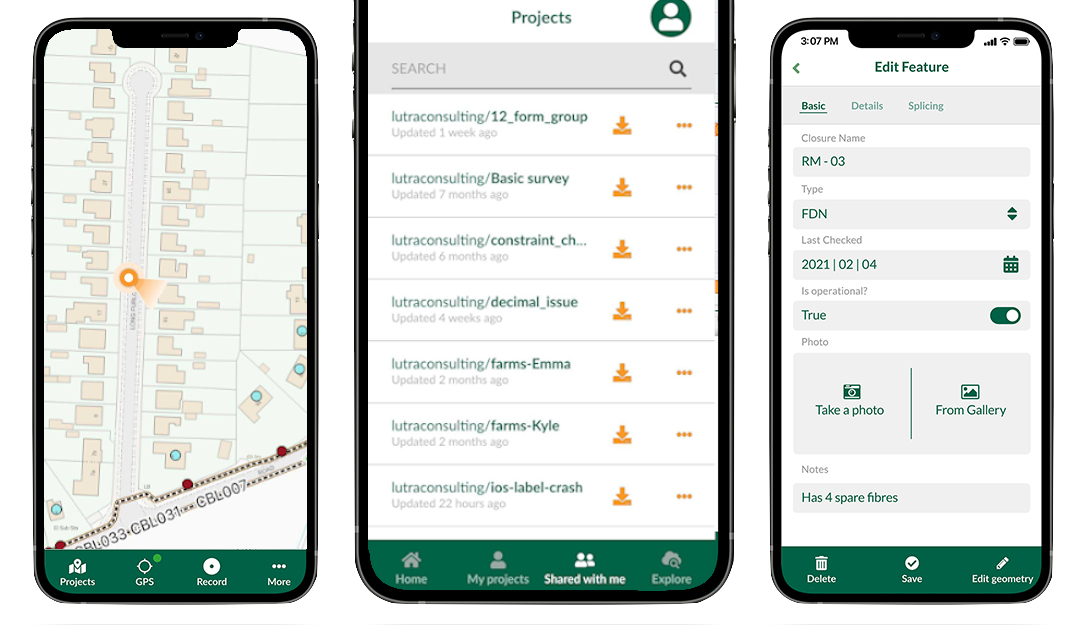
Fig.1 Screenshot of Mergin Maps on a mobile device
Warning
To survey in the field with the SoluTOP MS2 GNSS system and reach good accuracy — a few centimetres horizontally and vertically, for instance — you need an NTRIP client such as Lefebure or Bluetooth GNSS (see NTRIP Client): running in the background with mock locations enabled, it lets Mergin Maps reach centimetre accuracy. The receiver therefore has to be configured with an NMEA stream (see Uploading configurations)
Mergin Maps is based on QGIS https://qgis.org/, which means projects can easily be set up from the desktop.
Mergin is the core component of our product suite. It is a collaborative space that stores and synchronises projects across several mobile and desktop clients. Input can also be integrated with Mappin to publish projects through web mapping.
The official documentation is here: https://merginmaps.com/docs/
Mergin (server side)
Mergin is a web platform for storing and synchronising geospatial projects across several users and devices (desktop and mobile). It is particularly useful when you need:
- Mobile data collection. When you have to capture the position of assets (and their attributes) or update an existing database.
- Data sharing. No complicated access configuration by IT administrators to get your data to colleagues or customers. Set the permissions and send the invitations in a few clicks.
- Offline access. Work with your data without interruption even without a permanent Internet connection: changes are synchronised when you are back online.
- Collaborative editing. No more trouble handling several copies of the same dataset in different versions: all the changes are consolidated automatically in one place.
- Change auditing. Knowing who changed what, and when, is often important: Mergin keeps track of the history and lets you go back if you need to.
- No coding required. Everything can be set up without any programming knowledge.
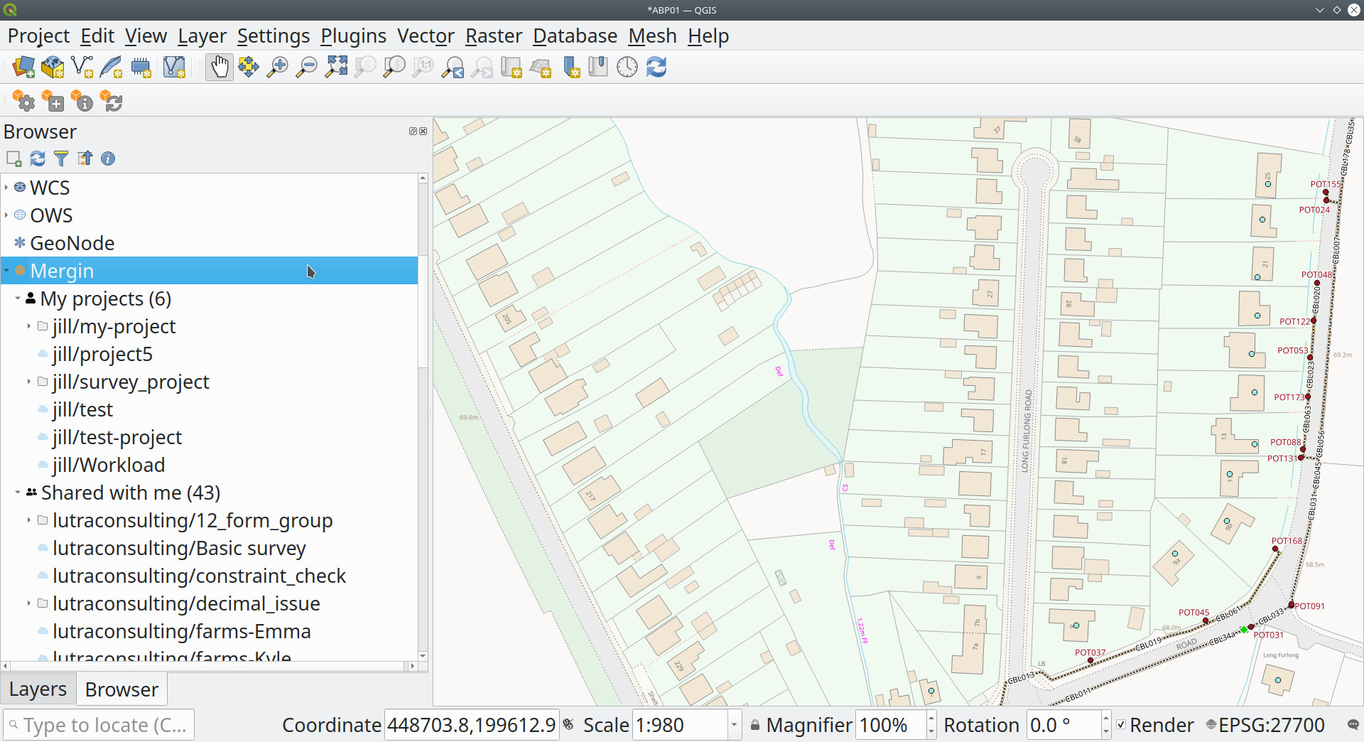
Fig.2 Screenshot of the Mergin plugin in QGIS
Mergin organises all the data into projects. A project in Mergin is a directory holding various data files: GeoPackages, QGIS project files, documents, images and more. As soon as a project is uploaded to Mergin it can easily be reached straight from the web, from QGIS or from iOS/Android through the Input app.
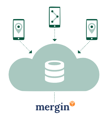
Fig.3 Architecture of the Input/Mergin system
Note
At https://public.cloudmergin.com/ you can try it free for a month; after that you have to buy a monthly or yearly plan, or you can build a permanent, dedicated infrastructure on your own server.
Contact us for more information at solutop@gmail.com